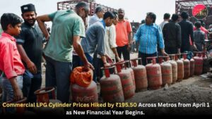
LPG Cylinder Prices Hiked by ₹195.50 Across Metropolitan Cities Effective April 1 as New Financial Year Begins.
The new financial year 2026-27 has begun with a significant increase in commercial cooking gas prices. From April 1, oil marketing companies…
Read More →